CM flags off expedition for scientific mapping of 100 trekking routes
Garhwal Post Bureau
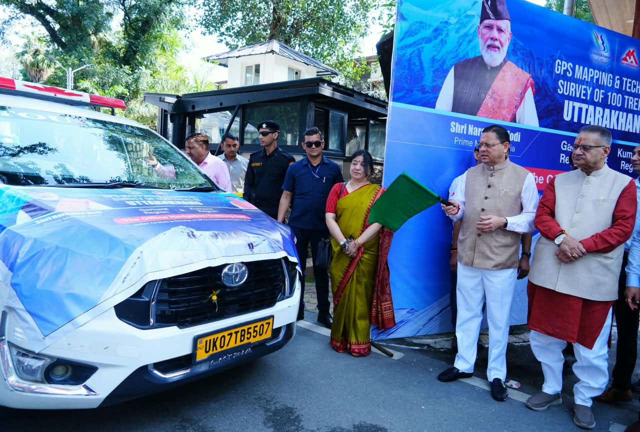
Dehradun, 18 Sep: Chief Minister Pushkar Singh Dhami flagged off an expedition team from his camp office here today for GPS/GIS mapping and technical survey of 100 major trekking and hiking routes across Uttarakhand. These teams have been constituted by the Uttarakhand Tourism Development Board (UTDB) and they will conduct ground surveys of selected trails and prepare detailed GPS/GIS maps of the treks.
Addressing the teams, Dhami observed that Uttarakhand has immense potential for adventure and trekking tourism. He stressed that modern technology must be used to bring both popular and lesser-known routes systematically onto the tourism map and noted that this initiative will make trekking safer, more accessible and better organised. He added that this will also ensure that the ecological sensitivity of the Himalayan region is protected.

The CM also insisted that tourism promotion must go hand in hand with the tourists’ safety and asserted that it remains the government’s foremost priority. Scientific mapping of trekking routes will provide trekkers with essential information and strengthen rescue and relief operations during emergencies. Dhami expressed confidence that this project will boost tourism activities in the remote mountain areas and generate new opportunities for the local youth through guiding, homestays and other tourism-linked ventures. He directed the officials to ensure participation of the local communities in the project’s implementation.
Tourism Secretary Dheeraj Garbyal shared that the GPS/GIS mapping and technical surveys of 100 trekking and hiking routes will be undertaken, forming the basis for developing offline and online GPS navigation apps of the areas concerned. These apps will allow the trekkers to access trail information on their mobile phones even in areas without network connectivity. He also claimed that Uttarakhand will become the first state in the country to develop such an app covering all the mapped routes. The app will aid navigation and also support rescue operations during emergencies. Garbyal also added that the mapping will also identify suitable sites for camps, dustbins and toilets, enabling planned development of facilities, better waste management and environmental protection. The official tourism master plan already prioritises safety, communication, signage and emergency evacuation on trekking routes, and this project will strengthen those provisions. A detailed project report and a coffee table book will also be prepared to promote lesser-known trekking destinations at national and international levels.
Cabinet Minister Ganesh Joshi, Additional Secretary Tourism and Additional CEO of UTDB Abhishek Ruhela, Additional Director Tourism Poonam Chand were among those present on the occasion.